Welcome to Marsh Island!

Let us be your guides as you explore this special place in the Arboretum. To reach Marsh Island from the University of Washington, walk or bike across the Montlake Bridge to East Montlake Park. The Foster Island Trail will take you across a simple pedestrian bridge to the island itself. Come prepared with boots or barefeet, because the path is truly a "marsh" when the water level is too high! After exploring the island on foot, you can continue east on the Arboretum Waterfront Trail to access other parts of the Arboretum. Another wonderful way to explore this area is by canoe or kayak. The Waterfront Activities Center (WAC) rents boats to students. By paddling south across the Montlake Cut, you can reach the waters that surround Marsh Island.

Walking directions to access Marsh Island

Looking North from Marsh Island

Your Map
Station 1: Access from the West
After leaving the parking lot area and entering East Montlake Park on foot, a small dirt and gravel path will lead you down towards the water. This allows access to Marsh Island from the west. A faded sign on your left will describe aspects of the island, but your own observations can serve as the best guide. The bridge begins across the water, and once a wooden handrail becomes available, stop and gaze to the right. You will see the curvature of the land with trees hanging over the water. Nearly every time we have visited the island, there is waterfowl in this area. Canadian geese and Mallard ducks are the most common residents, and this is an ideal spot to stop and observe any wildlife that may be lurking near the bridge. Turtles have been known to perch on the downed wood in the water, so if you are traveling by boat, those may be spotted as well.

Station 2: Signpost
Continue walking on the bridge towards the island (heading due east), and pause at the sign post that says "Marsh Island." This spot marks the first station on the island itself, where the bridge turns in to a path lined with wood chips. The island is truly a marsh: the line of distinction between path and water is often blurred when wave activity sloshes water onto the pathway. Look down at the water next to the path: Is it murky and muddy? Clear? Are pond lilies, cattails or reeds/grasses growing?
The geomorphology of this land is interesting.

Station 3: The Cut (2 - LAND USE HISTORY)
This station exemplifies land use changes throughout history. If you continue walking on the path and look to your left, the WAC and the Husky Stadium rise up prominently out of the Montlake Cut. This passage of water was once a canoe portage for Salish Indians; an isthmus that allowed access to prime camping, hunting and fishing grounds. The area used to be thickly forested by Douglas firs and Cedar trees, which represents an immense land use change for the entire city. In 1916, the Army Corps of Engineers finished the Montlake Cut as we know it today: a deep, long passage for boat travel. The alteration was inspired by a desire to move logs more easily from Lake Washington's Union Bay to Portage Bay on the banks of Lake Union. Since the early 20th century, countless land use changes have occurred in the Montlake neighborhood, including home construction, creation of the 520 bridge, and the designation of the Arboretum as a park site. The land use changes have been immense, and evidence of it are clearly visible today from this station.

Station 4: Brian's Sit Spot (6 - LICHENS AND FUNGI)
Just as the path begins to go from bark to mud you will reach a nice bench at a T junction in the path. Take a seat. Look to your left and see the boats heading to and from Montlake Cut. From your right you can hear the buzz of the freeway through the opening at the junction.

This is one of the best spots to see lichens and fungi. look at the branches on the willow behind the bench. Here is what you will find:

Antlered Perfume (Evernia prunastri)

Hooded Rosette (Physcia adscendens)

Waxpaper Lichen (Parmelia sulcata)

Unidentified fungus
Station 5: Heron's Concrete Dock (3 - BIRD and ANIMAL BEHAVIOR)
After coming across the bench that marks station 4, veer right down a short muddy path to the first of two concrete docks. Standing on this dock will give you a panorama view of the island's southern side. With excellent views of the 520 bridge, we also can see some spectacular wildlife. There is a resident Great Blue Heron to the east of the concrete dock. We have observed this heron more than four times throughout our visits to Marsh Island. Often, it is undisturbed by human presence unless snuck up on. Kayakers have floated calmly by it without causing a stir, but when it does take flight, the wingspan and grace of this bird is quite a sight. Notice the high volume of water lilies that float to the surface of this side of the island. There is an abundance of willow and cattails as well. After taking a seat on this dock and dipping your mud-splattered feet into the water, continue back to the main path and remain walking east.

The Great Blue Heron (Ardea herodias) from the dock

If you have the opportunity, slowly approach the heron in a cone. It won't be too alarmed that you are there, but if you get to close it will show you it's wingspan as a warning!
An opportunity to observe the heron's behavior as we floated up close.
Station 6: Emily's Sit Spot (4 - PLANTS)
Throughout Marsh Island, there are numbered sign posts. We believe the signs are part of a network of urban trails, in this case, the largest wetland network in Seattle: the Arboretum Waterfront Trail. Emily's sit spot throughout Spring 2013 was at signpost #13, not too far East from Brian's sit spot and the first dock. It is characterized by an overgrowth of invasive species and a large black cottonwood tree. Here, we have observed holly, blackberry and ivy covering the ground unsaturated by water. The cottonwood tree is the largest we have observed on the island and has produced more leaves throughout the spring. Sitting on the piece of wood that designates the path is a wonderful place to hear bird songs and the lap of waves on the north shore.


Black Cottonwood (Populus trichocarpa)

Station 7: Sign Post 10 (5 - INVERTIBRATES)
Just beyond sign post 13 is sign post 10 is where you'll want to stop to get down and dirty in bug world. The dryer ground gives many invertebrates an opportunity to thrive here. Below are pictures of hymenoptera and a peculiar looking bug, either a coleoptera or a hemiptera. It was very tough to classify, but very abundant at this location, as well as some others.


Coleoptera or Hemioptera? Hymenoptera

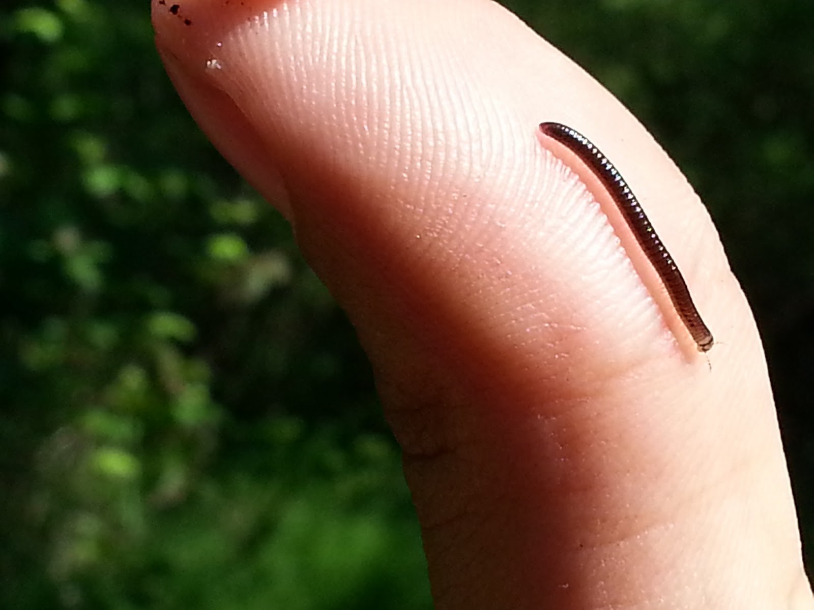
Common Earth Worm (Lumbricidae family) Diplopoda
Station 8: Beaver Tree (8 - ECOLOGICAL DISTURBANCE)
At least one pair of beavers calls Marsh Island home. it is an elusive pair, having never been seen over the course of the quarter. It is the ideal habitat for one though, and the disturbances that the beaver causes are very visible. If you keep your eyes open and look in the swamp just past the trails it is easy to spot a down tree, or sometimes just a stump, that was the work of a beaver.
Just beyond sign post 10, on the left side of the trail is one of these beaver trees. Beavers chop down trees so they can build dams. If you peer through the thick branches of trees at times you can find dry spots deep inside the island. These are the products of the beaver's dams. They alter the habitat to create advantageous situations for themselves, and in turn other species adapt. These dry spots have lots of grass growing on them, the only spots on the island where grass grows.

Station 9: Second Dock (7 - INERACTION BETWEEN SPECIES)
Keep walking east, and on your left will be the second dock. Walk out and enjoy the view. Look up into the sky on a clear day. Eagles nest in this area and catch fish in the lake. Crows hate it. On multiple occasions we have watched a murder of crows chase a bald eagle through the air, sometimes a pair of eagles. The eagles glide through the air, at first unfazed by their agressors. After a while, and usually some more crows joining the fight, the eagles will leave the area, and constant "Caw" that the crows had been singing will quiet down. The crows are defending their territory from the giant raptor, and it takes many of them to accomplish the task.
Great eagle-watching dock

Station 10: Swampland
As you walk back to the main trail from the second dock, don't go too far. At sign post 17 you will find one of the neatest, swampiest areas on the island. Across from the bench is where it lies. Peer through the trees to look for turtles and that elusive beaver! Your eyes may play tricks on you, as this area feels more like the everglades than the Puget Sound. Don't be fooled though.


Station 11: Uprooted Tree (1 - Geomorphology)
This uprooted tree is only visible from canoe. It rests near the Northeastern tip of the island. It is a great example of how Marsh Island is constantly changing from wind and water. The saturated soil leaves tree roots in very wet, pliable conditions, and any wind storm exposes trees along the edge to high speeds. Trees along the edge of a forest, or in this case marsh, are much more exposed and likely to fall in a wind storm.
The root structure is still largely intact, and the dryer soil above the lake provides a great place for plants to take root. here you can see two plants growing successfully out of the upended root structure.

Station 12: Iris Hall
As you continue on the trail you cannot miss this spot. There is no clear marking, but it is well named. Iris's line the path on either side, and willows hang low overhead. The tunnel feel of the path gives you a tropical sensation. It is often hard to remember that you're just a short bus ride from downtown.

Station 13: End of the Road

You made it! Continue on the path to Foster Island, or turn around and head back to the parking lot. The choice is yours!
I hope you enjoyed our tour. Return soon.
No comments:
Post a Comment